Easy & Powerful Farm Earthworks Design
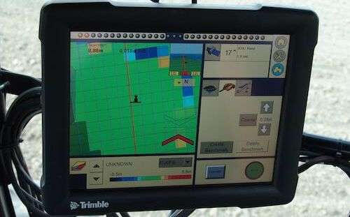
Compatible With These Machines & GPS

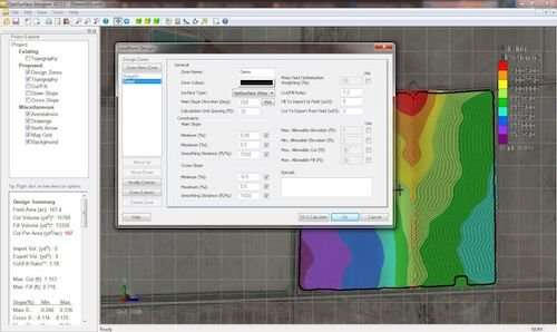
Landform Design
Create surface designs to suit all types of farming:
Rainfed Drainage
Irrigation Drainage (Drip, Pivot, Lateral Move, Sprinkler)
Furrow/Bay Irrigation
And more
Erosion Design
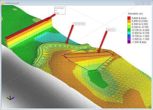
Create designs to eliminate erosion such as:
Terraces/Dry Dams
Graded Contour Banks
Waterways
Drain & Road Design
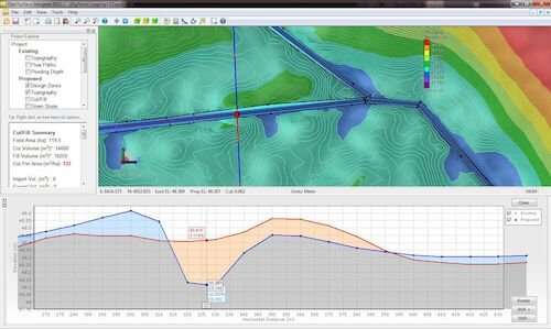
Create designs for linear features such as:
Ditch networks
Levees
Roads, etc
Reservoir Design
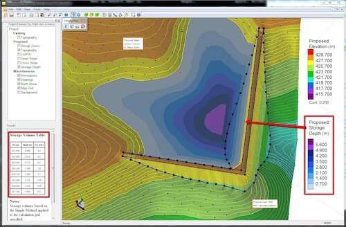
Design embankments of any shape with automatic calculation of batters
Calculate earthworks volumes and automatically rebalance
Calculate storage volume curves
More Design Power
Balance earthworks across a field & subzones, not just in strips
Add Subzones to produce refined designs
Work with multiple fields at the same time to perform whole farm design
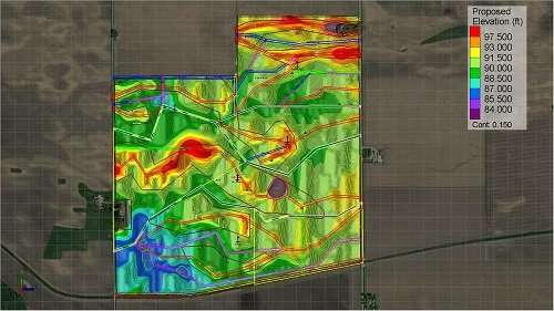
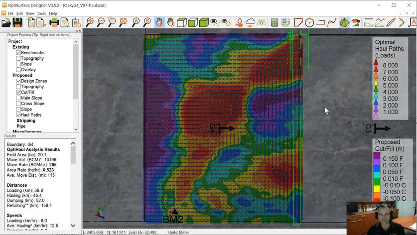
OptiHaul Analysis
Unique analysis shows:
Shows optimal paths to haul earth
Easy to interpret for inexperience operators
Save even more costs reducing machine hours
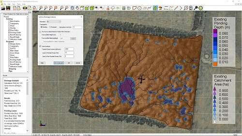
Flow Analysis
Animated simulations to show:
Water Flow Paths
Depressions
Effects furrow/bed and traffic
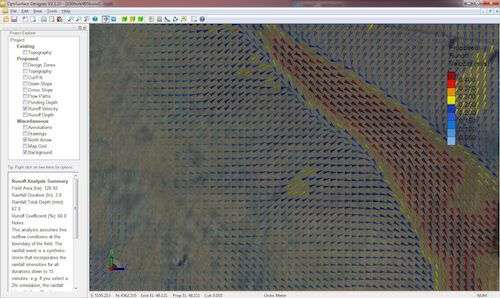
Storm Analysis
Exclusive simulation technology:
Applies a 1-in-10 year storm event to your field
Maps of runoff depth & velocity to highlight areas of erosion risk
Use before and after erosion control designs to show where problems will be and how thay are mitigated
Beautiful Reports
Automatically generate reports:
PDF Design Reports
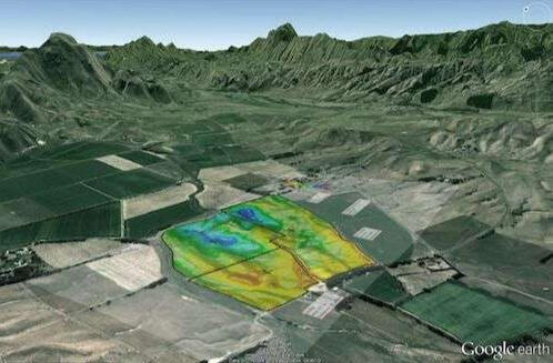
Google Earth Overlays
Cloud Link (Online Sharing)
AgEarth Mobile (IOS & Android Devices)
Seamless Transfer
Import surveys from most RTK GPS systems.
Export to most 3D machine control systems.
Export to most tractor steering guidance systems.

Get A FREE Custom Design

Join the AgEarth Community
Celebrating 2.5 Million Acres Worldwide*
* AgEarth's older brother is OptiSurface Designer which has been used to design over 2.5 million acres
AgView Sugarcane
Measure Billet Quantity & Quality
Increase yield and quality while lowering costs with real time data during:
✅ Planting: Monitor billets per meter/foot going in the ground to promote better spacing, better yield with less seed.✅ Harvesting: Monitor crop yield, billet quality, sample cleanliness and losses.✅ Milling: Monitor average billet length coming into the mill per load to determine lost income from short billets and to encourage optimal billet length.
Get Started FREE
Improve Your Farm With Earthworks & Water Management
100% Secure. We Will Never Share Your Email.
Thanks for trying AgEarth
The app is in beta version and updated weekly on Mondays.
Start using it now here:
Contact [email protected] with any questions, suggestions or bugs.
We will email you in a week to get any feedback.


